01
Qualified inspector
Meets 49 CFR 396.19 training and experience requirements, with the qualification file to prove it
Every annual inspection. This is the requirement most commonly missed on paper rather than in practice.
Need a DOT inspection in Cheyenne? We bring a qualified inspector to your yard so you are not burning driver hours on an appointment. First thing we check is whether you even need one. City duty cycle wrecks intervals built on mileage — hours or fuel burn is the better trigger here. The same trucks cover Fox Farm-College, South Greeley, and Warren AFB, out to about 34 miles at Pierce.
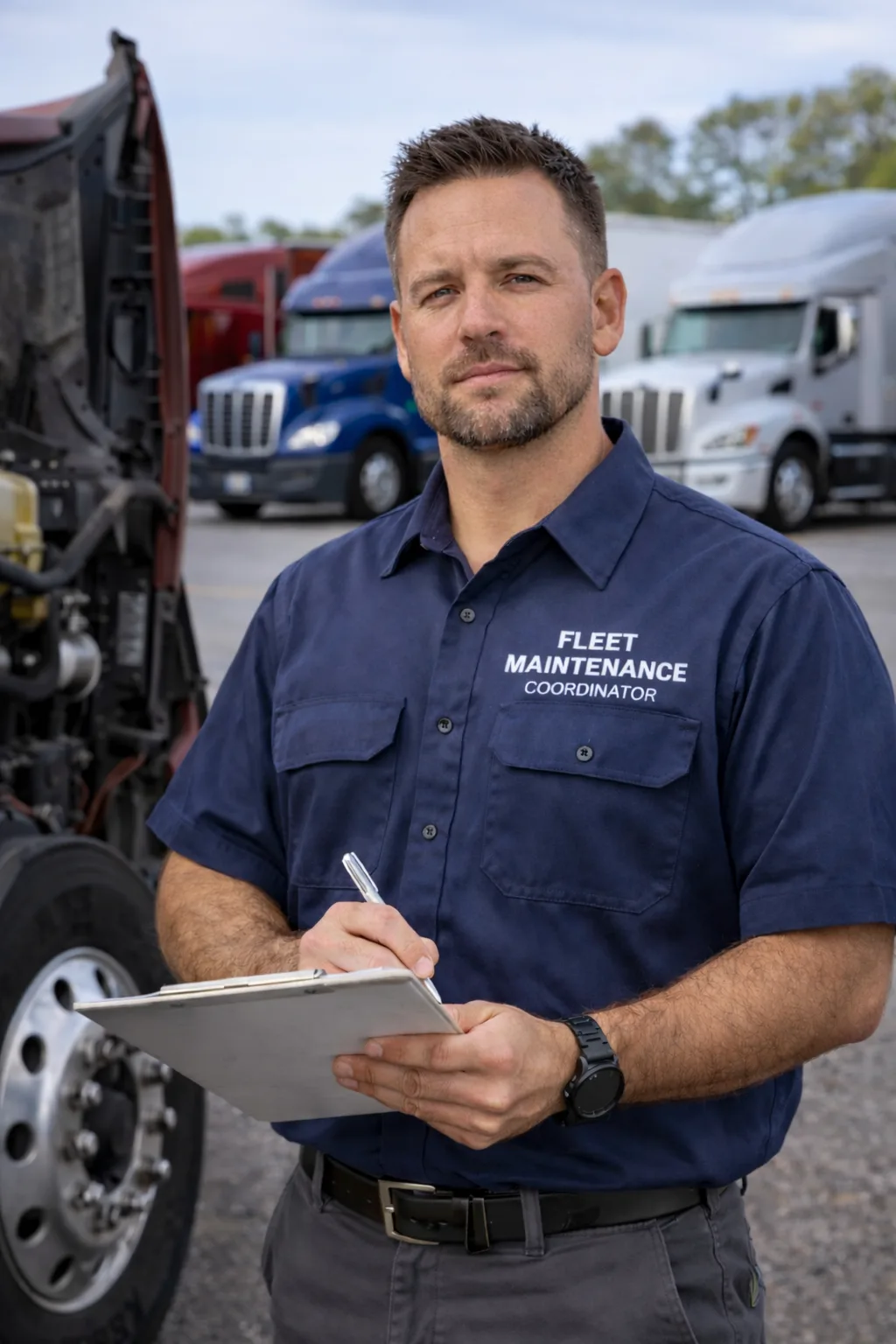
An annual inspection needs a qualified inspector, the tooling to measure rather than eyeball, and somewhere the truck can be worked safely. All three come to your Cheyenne yard.
Meets 49 CFR 396.19 training and experience requirements, with the qualification file to prove it
Every annual inspection. This is the requirement most commonly missed on paper rather than in practice.
Meets the separate 396.25 brake inspector standard
Any inspection or repair touching the brake system — which is nearly all of them.
Measurement tooling, air system gauges, lighting, and common repair parts on board
Inspections at your yard, so a minor finding is corrected the same visit instead of scheduling a second one.
Pushrod stroke measurement, lining thickness gauges, air loss timing
The brake section of every annual — the part that decides pass or fail more often than anything else.
ABS, chassis, and aftertreatment fault reading
Late-model equipment where an ABS lamp or an active fault affects the inspection result.
Parts and tooling for findings that would otherwise fail the inspection
Fleet inspection days, where finding six problems and fixing none of them helps nobody.
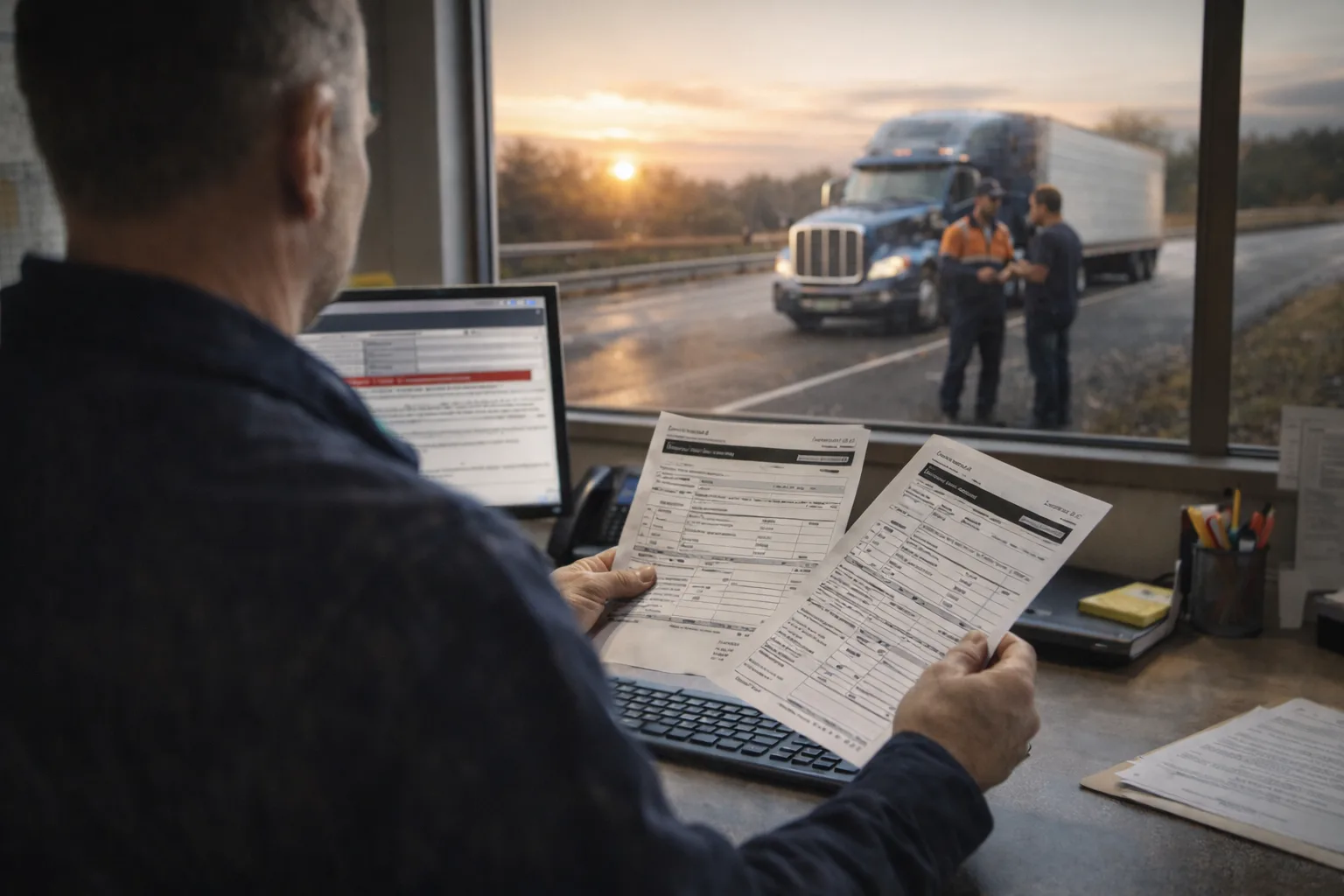
One call puts a DOT inspection unit on the road to you anywhere in Cheyenne and the surrounding Laramie County. Tell us where you are stopped and we do the rest.
The federal annual inspection and the roadside levels it interacts with, performed by a qualified inspector at your Cheyenne yard or terminal. Below is what is actually examined, what stops a truck, and the paperwork that has to exist afterward.
Linings and pads, drums and rotors, hoses and tubing, low-pressure warning, tractor protection, air loss rate, and pushrod travel on every wheel. This is where most Cheyenne trucks fail, and it is the section requiring a qualified brake inspector.
Steering wheel free play, column, gear box, pitman arm, drag link, tie rods, and ball-and-socket joints. Wear here is gradual enough that a Cheyenne driver adapts to it without noticing anything changed.
Springs, hangers, U-bolts, torque rods, air bags, axle positioning, plus frame members, cross members, and mounting for cracks or unauthorized welds. Frame findings are the ones most likely to surprise a Cheyenne owner.
Tread depth at 4/32 steer and 2/32 drive and trailer, sidewall condition, inflation, matching, and wheels and rims for cracks, elongated bolt holes, and missing fasteners. Cheap to fix beforehand, expensive at a Cheyenne scale.
Every required lamp and reflector, wiring condition, and connections. Lighting produces enormous violation volume nationally, and it is the single easiest Cheyenne pre-inspection item to clear yourself.
Fifth wheel, pintle hooks, safety devices, exhaust leaks and mounting, fuel tank security and leaks, plus windshield, wipers, mirrors, horn, and emergency equipment. The remainder of Appendix A, and where a Cheyenne inspection frequently finds something nobody was looking for.
The full inspection: driver credentials, hours, and a complete vehicle examination including under the truck. A Cheyenne Level I performed to the annual standard and documented properly can satisfy your 396.17 requirement.
Driver and vehicle, but without going underneath. The most common Cheyenne roadside inspection and still fully capable of producing an out-of-service order.
Credentials, medical certificate, hours of service, and required documents. No vehicle component, but violations still feed your Cheyenne carrier's CSA record.
A one-time examination of a specific item, and a full vehicle inspection performed without the driver present — the level typically used at a Cheyenne terminal or during a compliance review.
Radioactive materials transport, and electronic inspection performed wirelessly while the vehicle is in motion. The second one is expanding, and it inspects Cheyenne trucks that never stop.
Defects meeting the North American Standard out-of-service criteria stop the vehicle where it sits until repaired. Brakes dominate. A Cheyenne OOS also requires the violation be certified and returned, not merely fixed.
The report identifies the inspector, the vehicle, each component inspected, and the result. It is retained for fourteen months, with a copy where the Cheyenne vehicle is housed or maintained.
Where a decal is used, it goes on the vehicle showing the month and year of the inspection. Convenient at a Cheyenne roadside stop, but the report is the record — a decal alone does not satisfy the rule.
Evidence that whoever performed the inspection met the 396.19 requirements, and the brake inspector standard for brake work. Missing this is a violation even where the Cheyenne inspection itself was flawless.
Anything found and corrected has to be documented against the unit and filed. The Cheyenne repair order is what proves the finding was closed.
Defects a driver reported feed into the inspection picture. A Cheyenne annual that passes while an uncorrected DVIR defect sits open is an audit problem in itself.
The annual is due every twelve months per unit, and state periodic inspections run on their own clock. Most Cheyenne fleets that get caught were tracking one of the two.
An annual inspection is a small, predictable line item — the money is in what it finds. A Cheyenne inspection quote covers the inspection itself; repairs required to pass are separate, and knowing which is which before you book is the entire point.
The inspection fee buys the examination and the documentation. Anything that has to be corrected to pass is quoted separately. A quote that blurs the two is impossible to compare against another vendor's.
Mobile inspection at your yard costs more per unit than driving to a station, and costs less in total once you count the driver hours and the truck being out of service to get there.
Travel amortizes. Inspecting eight trailers on one visit prices very differently per unit than inspecting one, which is why fleets batch annuals rather than spreading them across the year.
A trailer inspects faster than a tractor, and a straight truck faster than a combination unit. Specialized equipment — tankers, lowboys, vocational bodies — carries additional inspection items.
A well-maintained unit inspects quickly and passes. A neglected one consumes inspector time, fails, needs repair, and needs re-inspection. Condition affects the total far more than the inspection rate does.
A lamp, a hose, or a brake adjustment corrected during the inspection visit avoids a second dispatch and a second failed attempt. This is where a mobile inspection recovers its premium.
Inspections booked ahead of expiry price normally. An inspection needed today because a unit was stopped is emergency work, and it is priced as such.
Annual inspections are quoted per unit and per visit. Repairs required to pass are quoted separately and authorized before they are performed — you will never receive an inspection invoice with repair work folded into it.
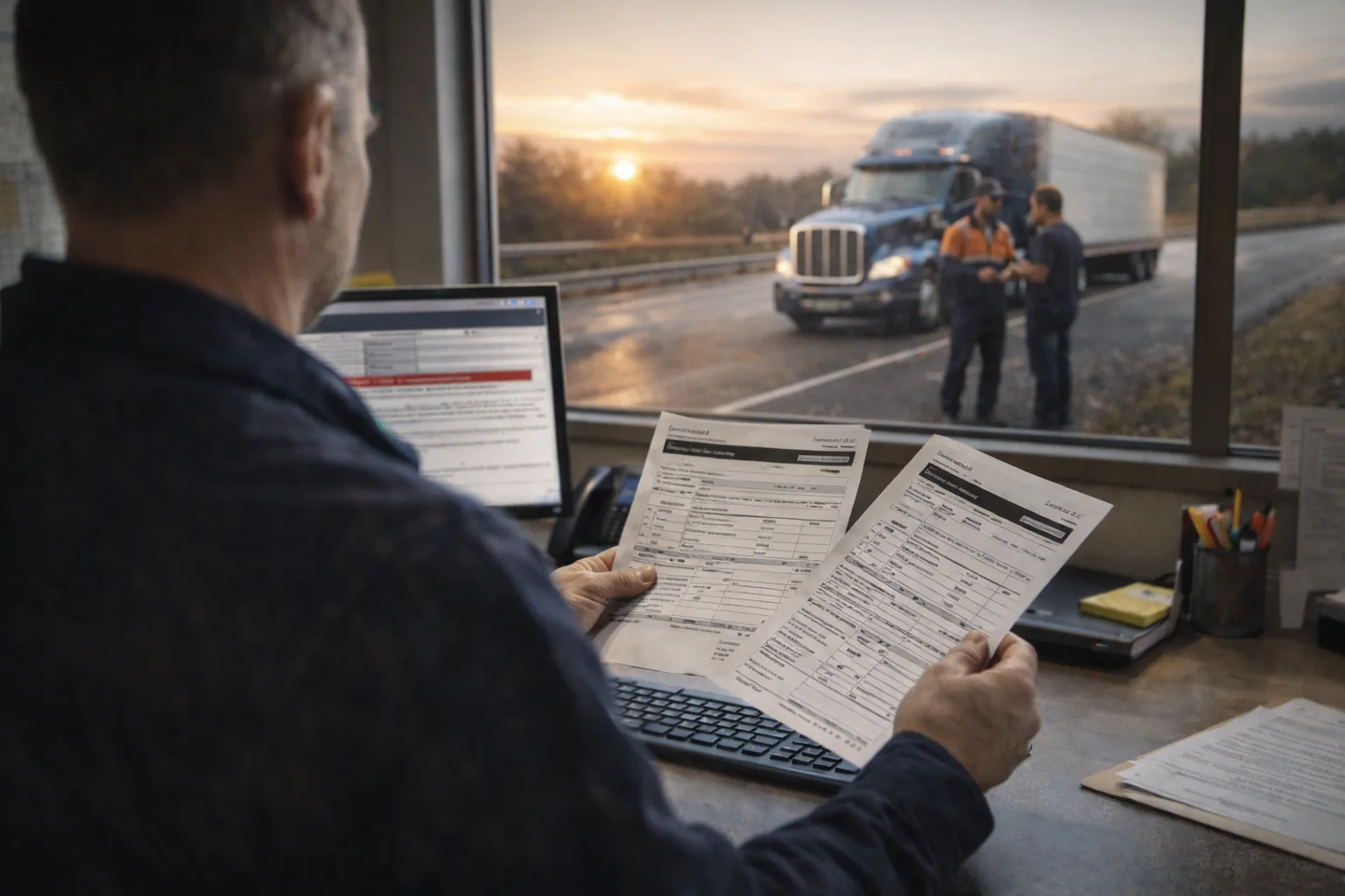
The same crews that run Cheyenne also cover Fox Farm-College (2 mi), South Greeley (3 mi) and Warren AFB (4 mi), so a call from either side of Laramie County reaches the same desk.
Each service links to local response times, rescuer coverage, and recent dispatched jobs in this metro.
A live map of every DOT inspection provider in Cheyenne metro, with real-time positions, ETAs, and dispatch status, available inside your dashboard.
Sign in to track network rescuers across Cheyenne in real time, dispatch jobs, and confirm ETA before the truck rolls.
The annual inspection is federal, so the standard is the same in Wyoming as everywhere else. What changes by state is whether a separate periodic inspection applies on top of it — and that is where Cheyenne fleets most often get caught.
Every commercial motor vehicle must pass a comprehensive inspection at least once every twelve months. The vehicle must be inspected against the minimum periodic inspection standards in Appendix A to Part 396, and proof of the inspection must be retained. A vehicle operated without a current annual inspection is in violation regardless of its actual mechanical condition.
A roadside inspection performed to the periodic inspection standard — in practice a North American Standard Level I — can meet the annual requirement, provided the documentation is retained. Fleets routinely buy an annual inspection for a unit that already received a qualifying Level I months earlier. Check the file before booking.
Inspectors must be qualified through a combination of training and experience: understanding the inspection standards, being able to identify defective components, and having completed a recognized training program or accumulated a year of relevant experience. The carrier must retain evidence of qualification for each inspector while they perform inspections and for a year afterward.
Anyone who inspects, repairs, or maintains brakes must separately meet the brake inspector standard. Because brakes are the largest section of the annual and the leading cause of out-of-service orders, this qualification is effectively required for annual inspections — and it is the record most commonly absent from a maintenance file.
The inspection report must be retained for fourteen months from the inspection date, with a copy kept where the vehicle is housed or maintained. Where a decal is used, it must show the month and year and be displayed on the vehicle. The report is the record; the decal is a convenience.
The North American Standard out-of-service criteria define the defect thresholds that stop a vehicle at the roadside rather than producing a citation. They are published and updated annually, which means a fleet can inspect deliberately against the same thresholds an enforcement officer will apply.
Roadside inspection results feed the Vehicle Maintenance BASIC in the Safety Measurement System, weighted by severity and recency. A clean inspection improves the score; a violation-heavy one raises inspection frequency, which generates further inspections. The annual is the cheapest opportunity to find those violations before an officer does.
You get a real time before anyone rolls, and the price before the work starts. No motor club runaround and no waiting on a callback.
Cheyenne is a town of 78,204 in Laramie County, and breakdowns here happen on county roads and in yards more often than on an interstate. That changes the job: there is usually somewhere safe to work, and the drive out to you is the part that takes the time.
Cheyenne is the capital and most populous city of the U.S. state of Wyoming. Its population was 65,132 at the 2020 census, while the Cheyenne metropolitan area encompassing all of Laramie County had an estimated 102,000 residents. Cheyenne is situated on Crow Creek and Dry Creek. It is the county seat of Laramie County.
The trucks that cover Cheyenne also run Fox Farm-College, South Greeley, Warren AFB, and Ranchettes, out to about 34 miles at Pierce. So a call from the edge of Laramie County reaches the same people as one from the middle of town, and you are not handed off to a different dispatcher because of a county line.
The inspection itself is a modest, predictable per-unit fee — it is a defined examination against a published standard, not open-ended work. What varies enormously is what the inspection finds, since repairs needed to pass are quoted separately from the inspection. Four things move the inspection price in Cheyenne: whether it is performed at your yard or you drive the unit to a station, how many units you inspect on the same visit since travel amortizes across them, the type of vehicle — a trailer inspects faster than a combination tractor, and specialized equipment carries extra items — and how much lead time you give, because an inspection needed today on a stopped truck is emergency work. The number that actually decides your annual cost is equipment condition. A well-maintained unit inspects quickly and passes; a neglected one consumes inspector time, fails, needs repairs, and needs re-inspecting. Before you book anything, check whether the unit already had a qualifying Level I roadside inspection this year — if it did and you kept the paperwork, you may not need to buy one at all.
You have three options and they are not equivalent. You can take the vehicle to a truck service facility or dealership that performs annual inspections, which works well if the unit is already going there for other work. You can use a state inspection station where your state runs a periodic program — but be careful, because a state safety inspection and the federal 396.17 annual are separate requirements with separate proof, and passing one does not satisfy the other. Or you can have a qualified inspector come to your Cheyenne yard or terminal, which is what most fleets running more than a handful of units end up doing, because it eliminates driver hours, deadhead miles, and the unit sitting out of service waiting for an appointment slot. The requirement is about who performs the inspection, not where it happens: any location works provided the inspector meets the federal qualification standard and the vehicle can be examined properly, including underneath.
For the annual inspection itself, the vehicle needs its registration and identification available, and it helps enormously to have the maintenance file — prior inspection reports, recent repair orders, and any open DVIR defects — so the inspector is not discovering history mid-inspection. After the inspection, the documentation that matters is the report identifying the inspector, the vehicle, each component inspected and its result, retained for fourteen months with a copy where the vehicle is housed or maintained, plus the decal where one is used. Separately, the carrier must retain evidence that the inspector met the federal qualification requirements. For a roadside inspection the driver's document set is different: commercial driver's license, medical examiner's certificate, hours of service records or ELD access, and the vehicle's registration and permits, along with the current annual inspection proof. The most common documentation failure is not a missing report — it is a missing inspector qualification record for an inspection that was performed perfectly well.
No, and this is the rule fleets most often get wrong. Federal regulations require that annual inspections be performed by a qualified inspector, defined by a combination of understanding the inspection standards, being able to identify defective components, and having either completed a recognized training program or accumulated at least a year of relevant experience inspecting or repairing commercial vehicles. Separately, anyone who inspects, repairs, or maintains brakes must meet the brake inspector qualification standard — and since brakes are the largest section of the annual, that qualification is effectively required to perform one. The carrier, not the shop, is responsible for retaining evidence of those qualifications. This produces the single most common audit finding in this area: the inspection was performed competently by someone genuinely capable, and no record exists proving they were qualified to do it. A capable mechanic without a documented qualification is a violation waiting for a compliance review.
The federal annual inspection is required at least every twelve months on every commercial motor vehicle, and it runs per unit rather than per fleet — each tractor, each trailer, each straight truck has its own clock. On top of that, if your state operates a periodic commercial vehicle inspection program and your vehicles are registered there, that inspection runs on its own separate schedule and does not replace the federal one. A Cheyenne fleet may therefore be carrying two obligations with two different expiry dates, and tracking only one is how units end up operating out of compliance while everyone believes they are current. Roadside inspections happen whenever enforcement selects the vehicle and are not scheduled at all — though a Level I performed to the periodic standard can satisfy the annual requirement if the documentation is retained, which is worth checking before you pay for one.
Brakes, lights, and tires, in roughly that order, and all three are on any competent preventive maintenance checklist. Brake violations dominate both failures and out-of-service orders: linings worn past limits, pushrod stroke beyond adjustment limits, air leaks, and inoperative components. Lighting produces enormous violation volume nationally and is the easiest category to clear yourself the day before — every required lamp and reflector, working, with sound wiring. Tires fail on tread depth below the four-thirty-seconds steer and two-thirty-seconds other-position minimums, sidewall damage, and inflation. After those, the recurring findings are steering component wear, suspension and frame issues, exhaust leaks, and coupling device defects. The pattern worth noticing is that almost nothing on that list appears suddenly. They are wear items that crossed a threshold, which is why a fleet with genuine preventive maintenance intervals rarely fails an annual — the inspection confirms the program instead of substituting for one.
Response time across Cheyenne typically runs 35-45 minutes for mobile truck repair and heavy-duty towing, faster inside the built-up core and longer on the outlying Laramie County stretches.
Yes. The Cheyenne dispatch area extends through Fox Farm-College, WY, South Greeley, WY, Warren AFB, WY, Ranchettes, WY, Wellington, CO, Pierce, CO and the rest of Laramie County. Same phone number, same rescuer pool, same 24/7 coverage.
Yes. Every Road Rescue Network rescuer serving Cheyenne maintains current general liability, automobile liability, workers compensation, and where applicable garage-keepers insurance. We re-verify every renewal cycle.
Service-call dispatch fees in Cheyenne typically run $150-$235 depending on time of day, location, and service type. Heavy-duty towing starts around $475 for in-area moves. Quotes are confirmed before the truck rolls, and there is no after-hours surcharge.
Cheyenne runs about 78,204 people and sits in Laramie County, inside the Laramie County area. We take the call, find the closest crew that actually does this work, and tell you what it costs before anyone turns a wheel.
Coverage in surrounding cities and metros across the same network of verified rescuers.
The same verified network of providers, dispatched 24/7 across every major Wyoming metro and freight corridor.
Whether the truck is sitting in Cheyenne or out toward Warren AFB, it is the same phone number and the same crews. One call, day or night.
Road Rescue Network is actively recruiting verified dot inspection providers in the Cheyenne metro. Heavy traffic, real fleet leads, no auction race-to-the-bottom, straight rescuer-to-customer dispatch with confirmed pricing.
We send Cheyenne dot inspection calls directly to verified rescuers in your service radius. Apply once. Insurance & DOT verified. Live dispatch, fleet accounts, transparent pricing, no motor-club shave-down.
Deep-dive guide on choosing the right provider, common pitfalls, and what to expect on a service call.
OpenOpen positions at our network rescuers, full-time, part-time, and 1099 contract.
OpenOn-site photos from recent calls, see the work, not just the marketing.
OpenNetwork technicians carry diagnostic equipment, OEM-spec tooling, and common-failure parts for every major dot inspection brand on the road. Out-of-stock specifics order in within 24 hours.
Three steps from the call to a cleared scene. Same flow whether you call from a fleet desk or the shoulder of an interstate.
Before booking anything, we ask whether the unit has had a Level I roadside inspection in the last twelve months. If it has and the paperwork was retained, that Cheyenne unit may already satisfy the annual and you should not be buying a second one.
A qualified inspector to where the truck sits in Cheyenne, on a schedule that fits your dispatch rather than a station's opening hours. No driver hours spent, no unit deadheaded to an appointment.
Anything that would fail the inspection is reported with what it needs, and repairs are quoted and authorized separately. A Cheyenne inspection invoice never arrives with repair work folded into it.
Network rescuers accept all major credit cards, fleet cards, and consumer payment apps. Confirmed at dispatch.